Viewpoint: Satellite's emerging role in climate risk for insurance
Real-time data provided by satellite technology can lead to more dynamic insurance models, better risk management and more accurate, faster claims processing

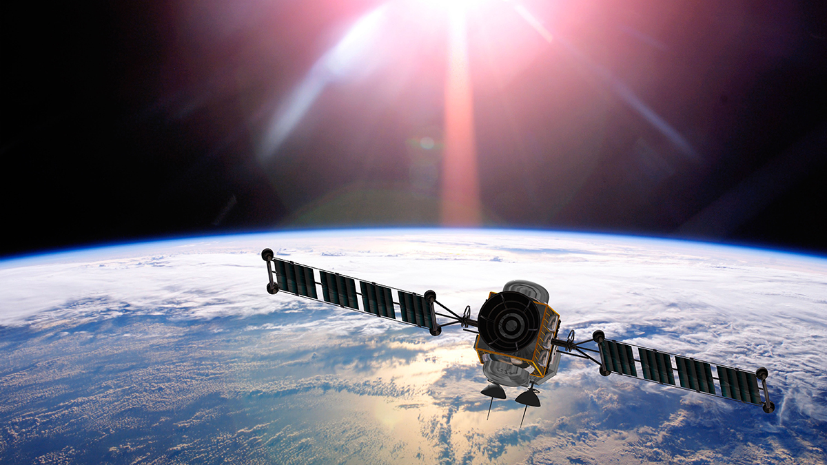
New satellite technologies can help insurers manage the risks associated with climate change
With the increased frequency and severity of disastrous natural catastrophes exerting a human cost and significant amounts of insured losses, insurers face an existential threat: they rely on strong data from the outset, so volatile and unpredictable risks such as climate change seriously hamper their industry’s ability to thrive.
One of the most championed risk technologies that help insurers mitigate against the mounting threat posed by climate change is satellite observation and aerial imaging. This is not a new concept; it is, after all, the same underlying technology that connects our smartphones and food deliveries. Although adoption has historically been limited among insurers because of perceived costs associated with satellites, that is changing fast.
Historically, satellites have been used selectively across the insurance spectrum because of high costs, with post-catastrophe analyses being the well-known use case to date. Now we are seeing a surge in claims and losses globally, primarily driven by changing climate patterns, pushing already brittle critical infrastructure to breaking points. This is also starting to damage properties and cities (as a result of subsidence) on a large scale.
With that, insurers want to analyse risk ahead of time to make more accurate decisions and improve their loss ratios. This capability exists today – it is cost-effective now and will be even better in the years ahead, with new satellite capabilities emerging.
More dynamic models
The continuous influx of real-time data from these technologies leads to more dynamic insurance models, better risk management and more accurate, faster claims processing across these verticals. In each of these insurance lines there are multiple individual use cases, such as risk assessment, fraud detection and claims handling, that can be supported using aerial and satellite technology. Certain asset classes are riskier than others (see box).
Higher-risk asset classes
Dams: the International Commission on Large Dams shows dams worldwide are ageing and entering an “alert age” when they become older than 50 years. In the US, the average age of large dams is above 65 years and since the 1980s there have been on average 24 dam failures a year. Last year the US Association of State Dam Safety Officials estimated the total cost to rehabilitate only the non-federal dams in the US stands at $157.5bn. An example of a recent failure was in Michigan, where the Edenville dam breached, resulting in flooding that caused more than $200m in property damage and forced the evacuation of more than 10,000 people.
Mine tailings storage facilities: experts at World Mine Tailings Failures, a non-profit tracking tailing facilities failures worldwide, expect 13 catastrophic failures for the period 2025 to 2029 with a cumulative cost of $32.5bn, at $2.5bn per catastrophe inclusive of public liabilities, stranded debt, lost stock value, court-ordered payments and other adjudicated third-party losses. The consequences when these types of assets materialise to a loss event can be catastrophic. For instance, the Brumadinho dam disaster in January 2019 cost 270 lives, wiping $19bn off the share price of Vale SA, which ran the mine.
When determining the structural risks posed by high-risk structures, underwriters usually rely on risk engineering surveys conducted on-site. These assessments are typically conducted over an interval of several years. Unpredictable weather patterns combined with ageing structures render infrequent risk reports quickly outdated, posing challenges for underwriters.
Satellite-based risk assessments and monitoring opens a novel, almost real-time and in-depth way for underwriters to understand where the risks actually are when it comes to dams and tailings storage facilities. Analysis of this data enables highly accurate detection of deformations that can point to existing or developing structural risks that can be conducted globally and from a computer in any office.
Supplementing this with additional datasets, such as information on temperature, precipitation or geological conditions, makes it possible to deliver comprehensive risk assessments, helping to understand whether an asset’s structural behaviour falls within its engineering thresholds or if anomalies need attention.
The above is delivered quickly and cost-efficiently, enabling the insurance sector to identify, monitor and quantify climate change risks effectively. The result is a golden trio that is in demand, particularly considering climate risks.
Improving daily practices
Integrating almost real-time satellite-based risk assessment and monitoring into daily underwriting practices enables an understanding of actual and potential risks at asset and portfolio levels instead of relying solely on infrequent on-site risk engineering surveys that are relatively static when published/reported. This integration facilitates more accurate premium setting, improves insurers’ loss ratios and significantly reduces costs.
Structural health audits for critical infrastructure have already prompted significant risk mitigation on multiple large-scale sites. Problems pinpointed by satellite-based risk assessments have been confirmed by on-site investigation and this has led to remediation. This not only averted potential loss events for insurers but also bolstered the business resilience of asset owners and safeguarded communities and the environment.
In the future, insurers will benefit from spaceborne risk assessment in tackling surging property damage claims caused by climate change-related subsidence. This historically non-significant peril is now surging, becoming a significant issue for property insurance.
Beneath the surface
Increased periods of droughts and above-average temperatures have led to ground deformation, especially in areas with abundant clay soils. This type of ground movement can damage buildings with cracks in construction or lead to doors and windows becoming stuck, wiring being cut or even pipes bursting.
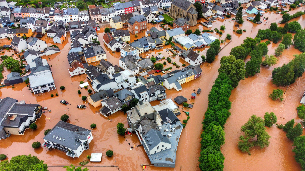
In 2022 after a prolonged drought in much of western Europe, insurance companies in France saw a record amount of property damage claims related to subsidence, totalling €3bn ($3.27bn). France Assureurs, an insurance industry trade association, estimates the total cost of such claims between 2020 and 2050 will amount to €43bn, three times higher than in the previous 30-year period.
With its highly accurate and up-to-date deformation detection capabilities, satellite-based monitoring and risk assessment are set to change subsidence risk for property insurance as they have already done for understanding risks in critical infrastructure
In the UK, the subsidence-related property damage costs were expected to reach £219m ($277.3m), the highest annual payout since 2006. PwC modelling indicates UK insurers’ subsidence costs could increase to £1.9bn annually by 2030.
Until now, insurers have not been able to understand or quantify risks subsidence-related risks to property. With its highly accurate and up-to-date deformation detection capabilities, satellite-based monitoring and risk assessment are set to change this for property insurance as they have already done for understanding risks in critical infrastructure.
As the insurance industry faces unprecedented challenges posed by the changing climate, it should seek to implement new tools to help. With the ability to effectively identify, monitor and quantify climate change risks, expect satellite-based technology to become the industry standard soon. By embracing this cutting-edge solution, insurers can stay ahead of the curve and proactively manage the risks associated with climate change.
Reijo Pold is the founder of Value.Space