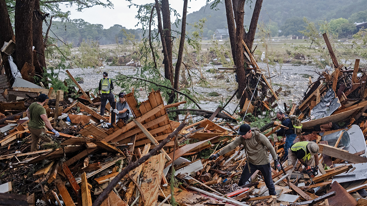
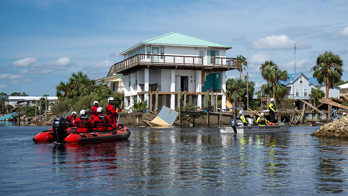
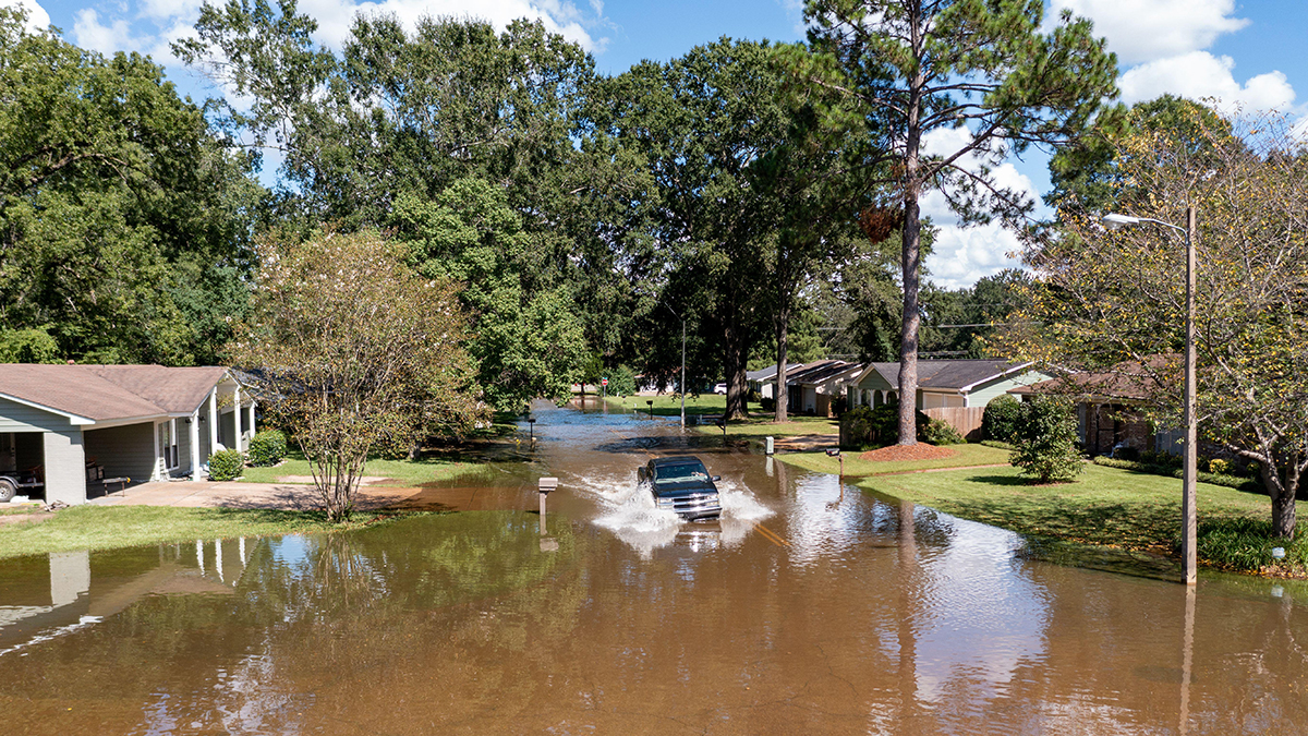
Fema flood maps ‘severely underestimate at-risk properties’
City University of New York professor claims Fema’s maps do not fully represent a given area’s flood risk because the federal mapping process relies too much on historical data and is subject to political influence over map updating
More than twice as many properties across the US at risk of 100-year flood as federal agency’s maps identify, researchers find


